High-Resolution Aerial Mapping & Surveying
2D orthomosaic mapping for restoration planning and documentation
3D terrain modeling and elevation analysis using RTK-enabled drones
Vegetation health assessments and canopy coverage mapping
Targeted Aerial Herbicide Application
Precision treatment of invasive species (e.g., torpedograss, cattails, primrose willow)
Ideal for difficult-to-access wetlands and restoration areas
Reduced herbicide use, overspray, and access-related site disturbance
Licensed aerial herbicide applicators ensure compliance and effectiveness
Environmental Monitoring & Documentation
Long-term aerial monitoring for restoration progress and regulatory compliance
Habitat mapping for wetlands, uplands, and transitional zones
Pre- and post-treatment aerial imagery to document site conditions over time
Volume Measurements & Earthwork Support
Accurate soil and aggregate volume calculations for cut/fill analysis
Support for grading verification and construction monitoring
Cost-effective alternative to traditional ground surveys
Aerial Photography & Videography
High-resolution imagery for environmental reports, marketing, and documentation
Drone-based video capture for site overviews and stakeholder presentations
Ideal for showcasing large-scale restoration and mitigation projects
Regulatory & Compliance Support
Data products compatible with GIS, CAD, and regulatory submittals
Precise mapping and imagery for permits, monitoring reports, and agency coordination
FAA Part 107 certified pilots ensure safe and compliant operations statewide

drone Services

Drone-Based Land Management
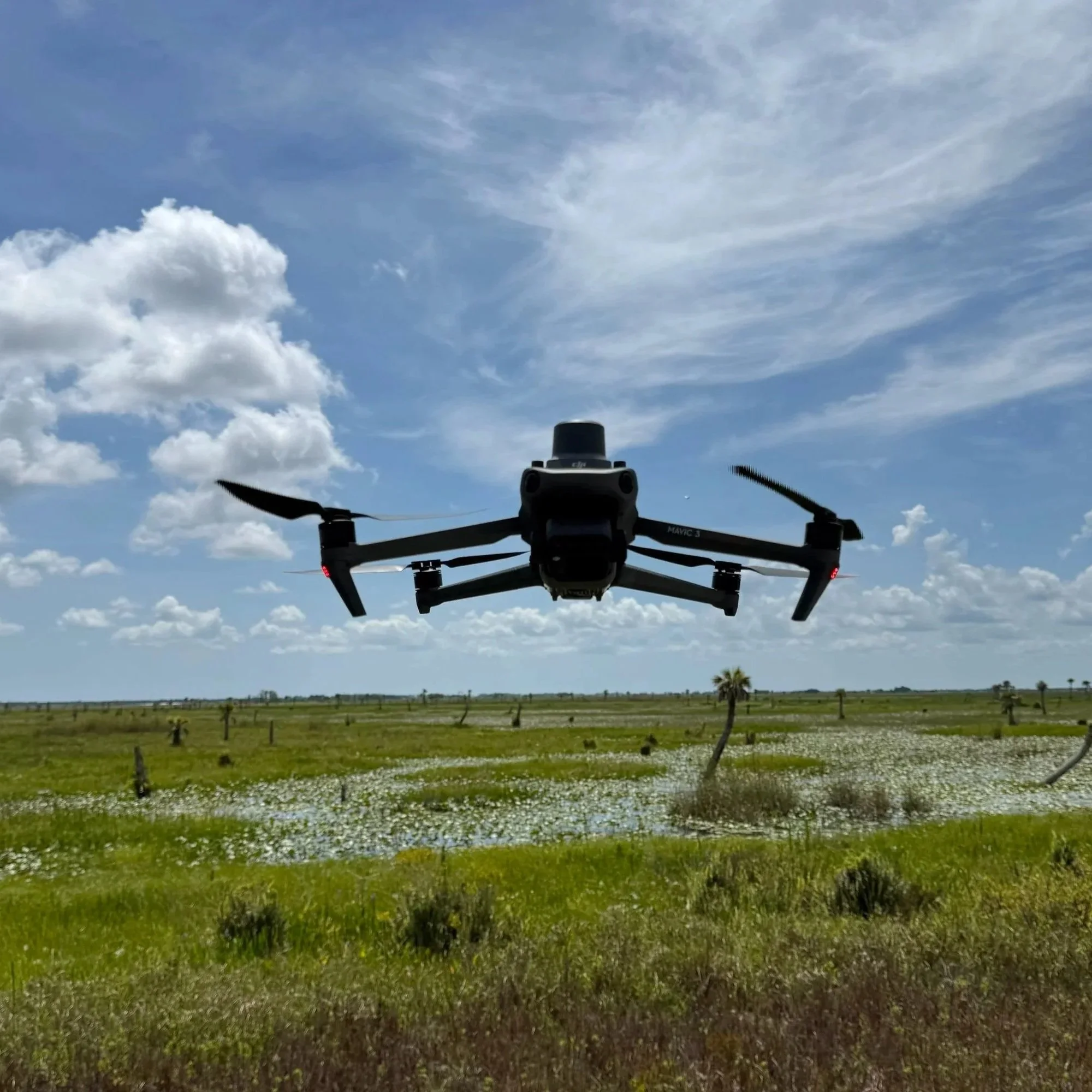
Drone-based land management is transforming how restoration and ecological monitoring are conducted in Florida. Horner Environmental utilizes RTK-enabled drones to deliver high-precision data and treatment solutions that improve both efficiency and ecological outcomes. By integrating drone technology into our restoration and land management workflows, we can capture accurate aerial data, monitor sensitive habitats with minimal disturbance, and implement targeted treatment strategies on a landscape scale.
High-Precision Mapping, Monitoring & Volume Analysis
Our drone fleet is equipped to perform high-resolution 2D and 3D aerial mapping, vegetation analysis, soil and aggregate volume measurements, and aerial land photography. These capabilities allow our team to generate detailed topographic models, monitor vegetation changes over time, and calculate cut-and-fill volumes with exceptional accuracy. Compared to traditional ground-based methods, drone mapping significantly reduces field time, lowers labor costs, and minimizes environmental disturbance while producing superior spatial data for permitting, design, and monitoring reports.
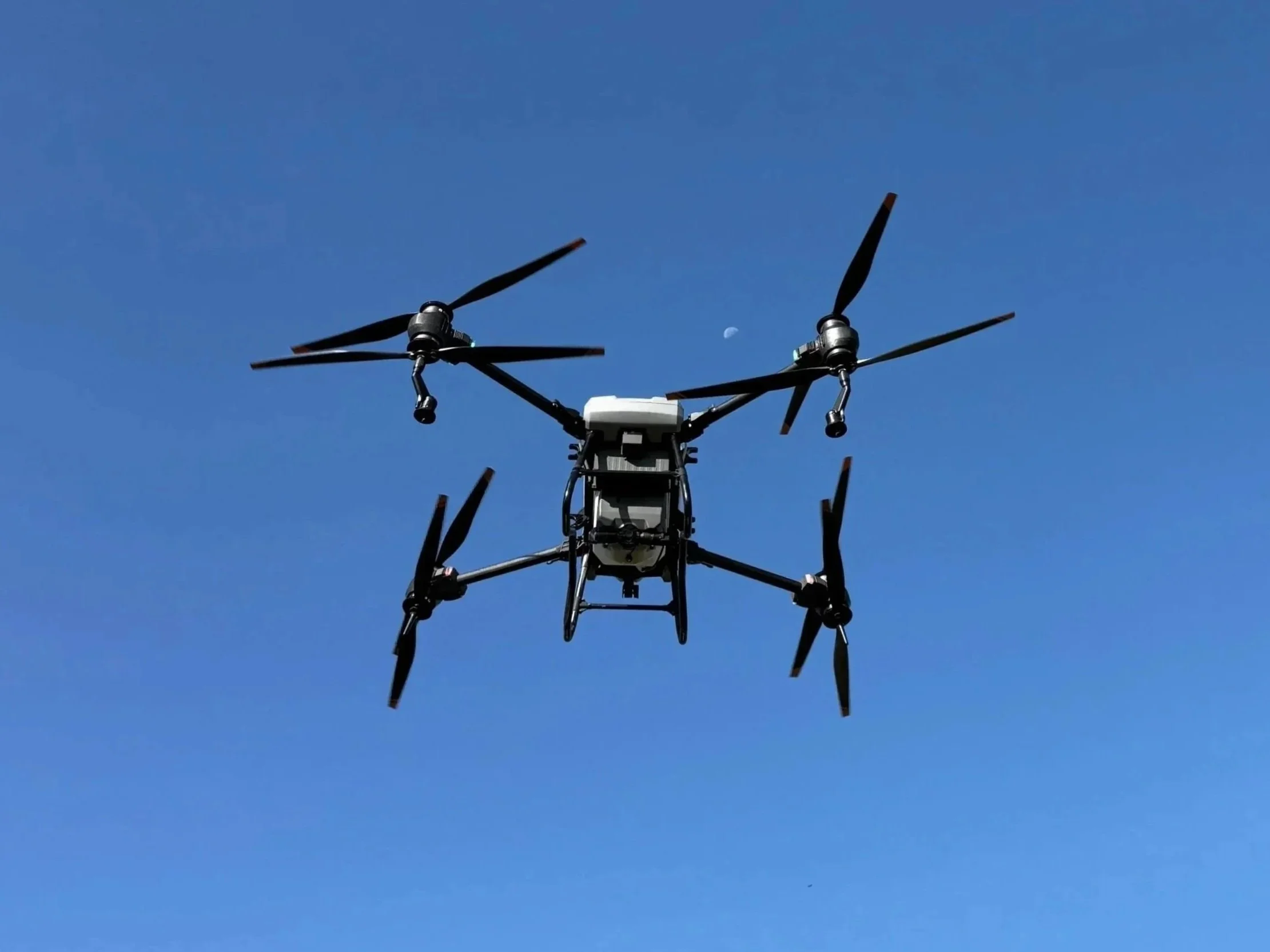
Targeted Aerial Herbicide Application
Horner Environmental also employs drone-based targeted herbicide application to control invasive species in difficult-to-access wetland environments. Invasive plants like torpedograss, cattails, and primrose willow can rapidly degrade wetland habitats if left unmanaged. Our aerial application programs deliver precise, controlled treatments that minimize overspray, reduce herbicide use, and avoid the access-related damage that often occurs with ground-based equipment. This approach is particularly effective in sensitive restoration areas, where precision and environmental protection are critical.
Certified Pilots & Florida-Focused Expertise
All of Horner Environmental’s drone operations are conducted by FAA Part 107 certified pilots and licensed herbicide applicators, ensuring that every flight and treatment meets regulatory and safety standards. Our team develops customized aerial treatment and monitoring programs tailored to Florida’s wetland ecosystems, allowing us to deliver efficient, cost-effective, and environmentally responsible solutions statewide. By combining cutting-edge technology with decades of ecological expertise, Horner Environmental provides a modern approach to land management that aligns with Florida’s unique landscapes and regulatory frameworks.